
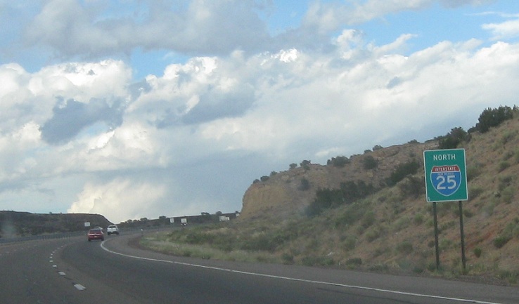
Location: I-25 and SR-16, Santa Fe Cty
Reassurance shield after the 16 junction
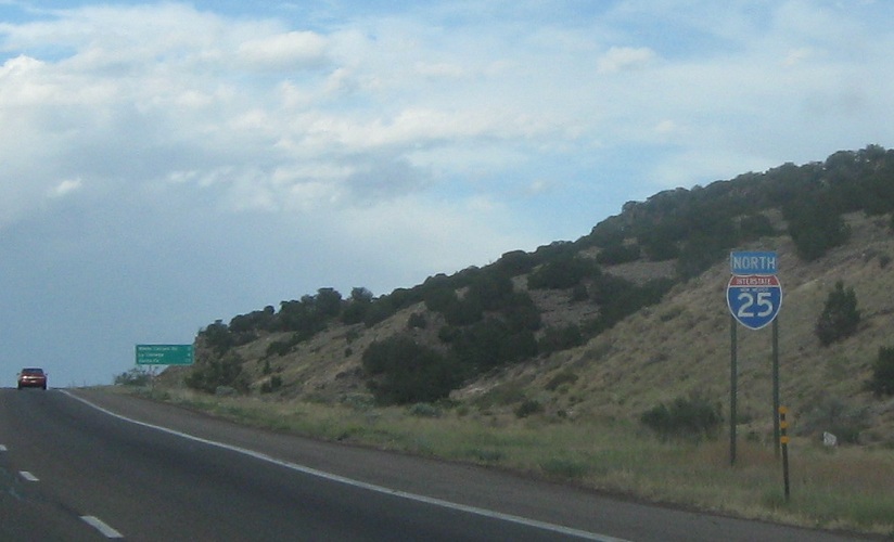
Location: I-25 and Waldo Canyon Rd, Santa Fe Cty
Reassurance shield before Waldo Canyon Rd
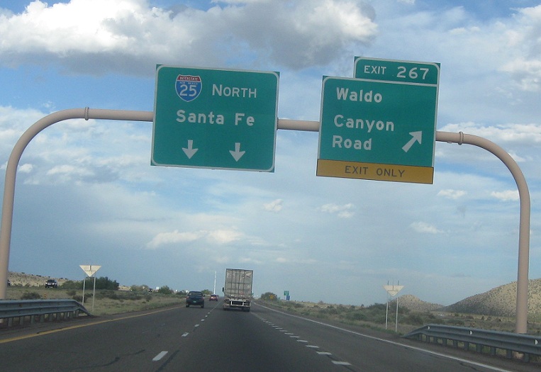
Location: I-25 and Waldo Canyon Rd, Santa Fe Cty
Exit for Waldo Canyon Rd
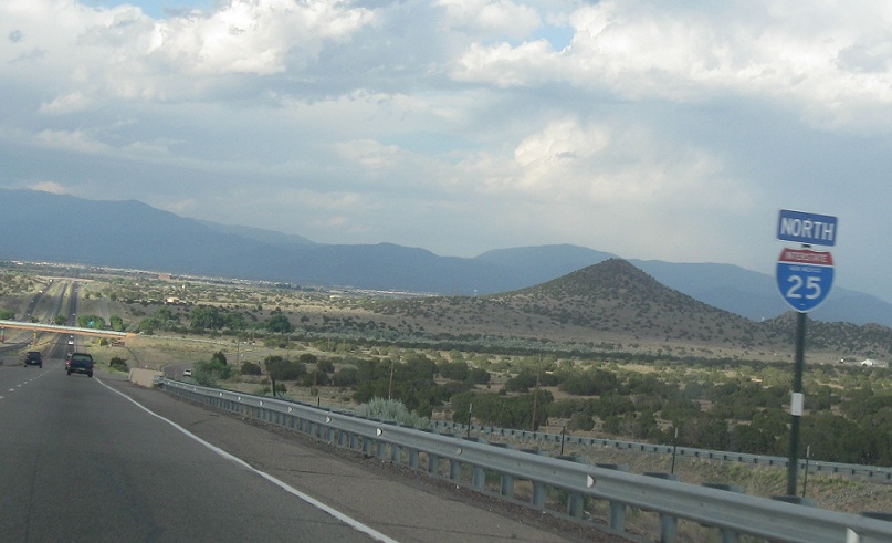
Location: I-25 and Waldo Canyon Rd, Santa Fe Cty
Reassurance shield after Waldo Canyon Rd as Santa Fe comes into view
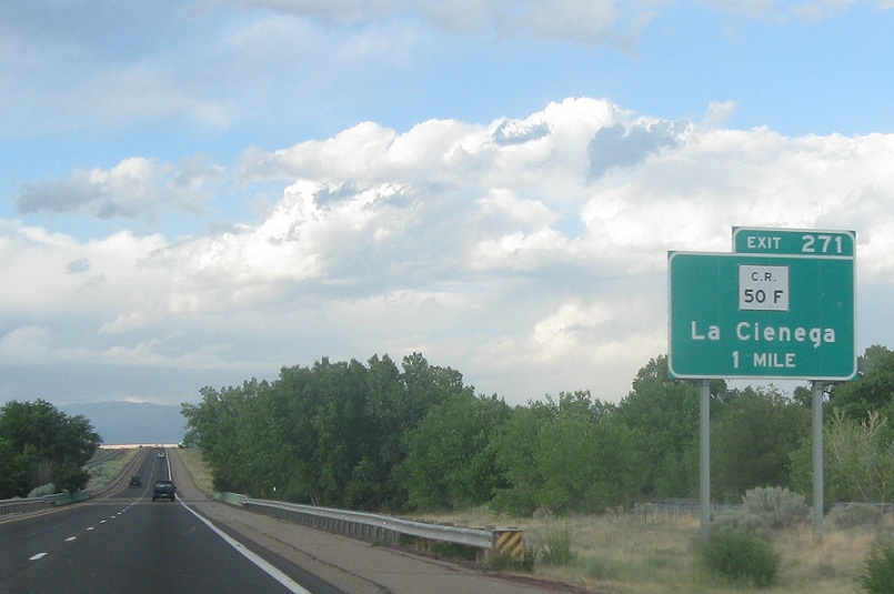
Location: I-25 and CR 50F, Santa Fe Cty
1 mile to County Road 50F, which heads to La Cienega
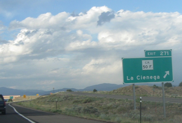
Location: I-25 and CR 50F, Santa Fe Cty
Exit for CR 50 F
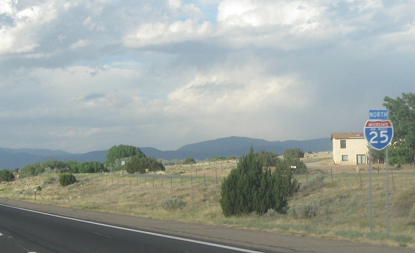
Location: I-25 and CR 50F, Santa Fe Cty
Reassurance shield after 50F
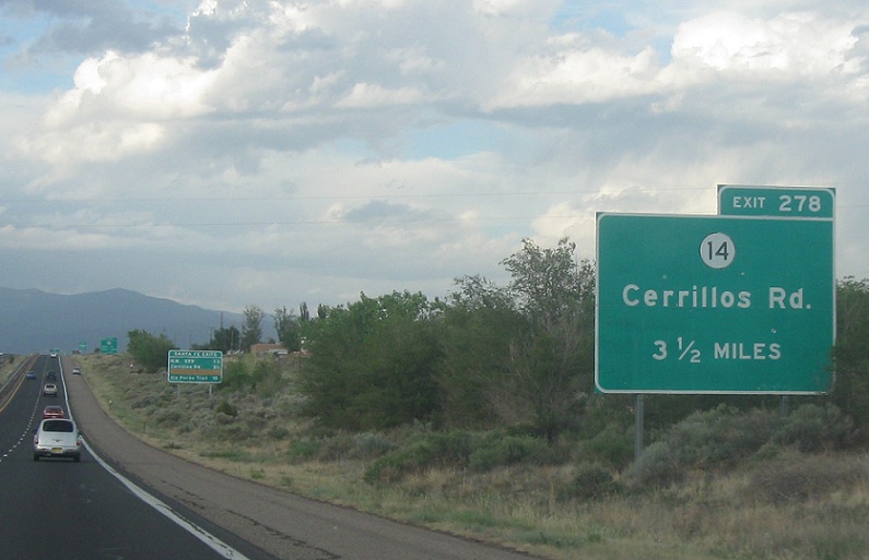
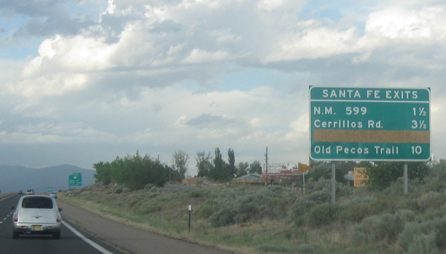
Location: I-25 and Relief Route, Santa Fe Cty
3 1/2 miles to SR-14, the main route into Santa Fe
Location: I-25 and Relief Route, Santa Fe
First we’ll hit SR-599, the Santa Fe Relief Route. 10 miles to SR-466
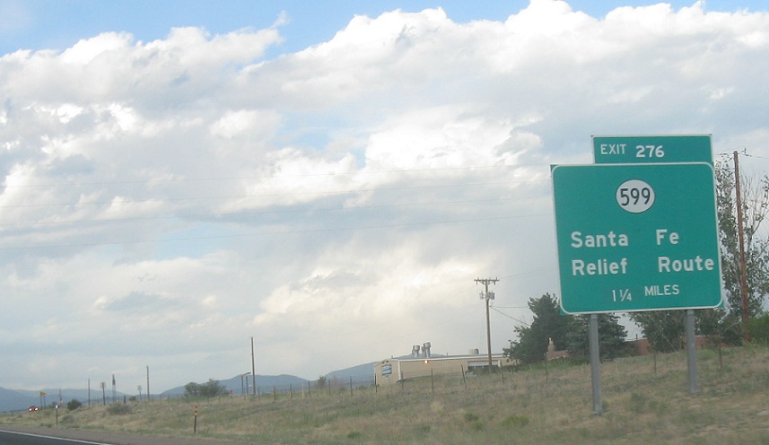
Location: I-25 and Relief Route, Santa Fe Cty
1 1/4 miles to SR-599, which connects to US-84/285 on the north side of town

Location: I-25 and Relief Route, Santa Fe Cty
1/2 mile to SR-599
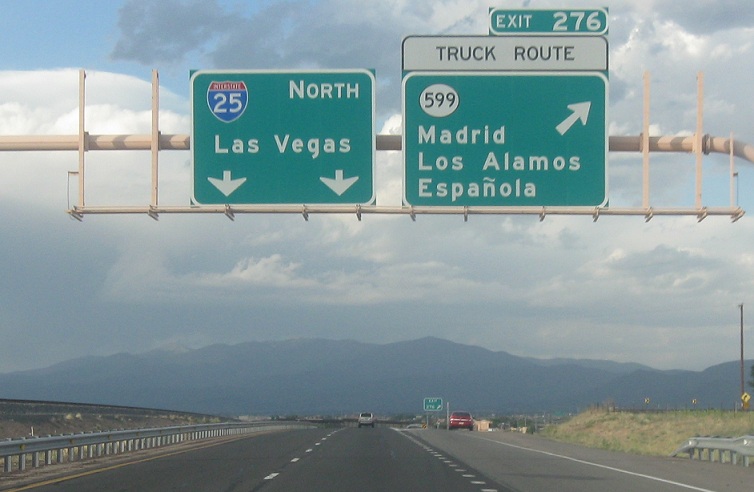
Location: I-25 and Relief Route, Santa Fe Cty
Exit for SR-599, which connects to US-84/285, serving Madrid, Las Alamos, and Espanola. The control city for I-25/US-85 changes to Las Vegas. Not that one.


 N to NM-284, S to NM-14
 N to NM-22
